Garmin
195 preces

| Kopvērtējums | (13 atsauksmju) |
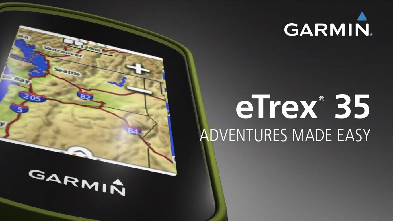
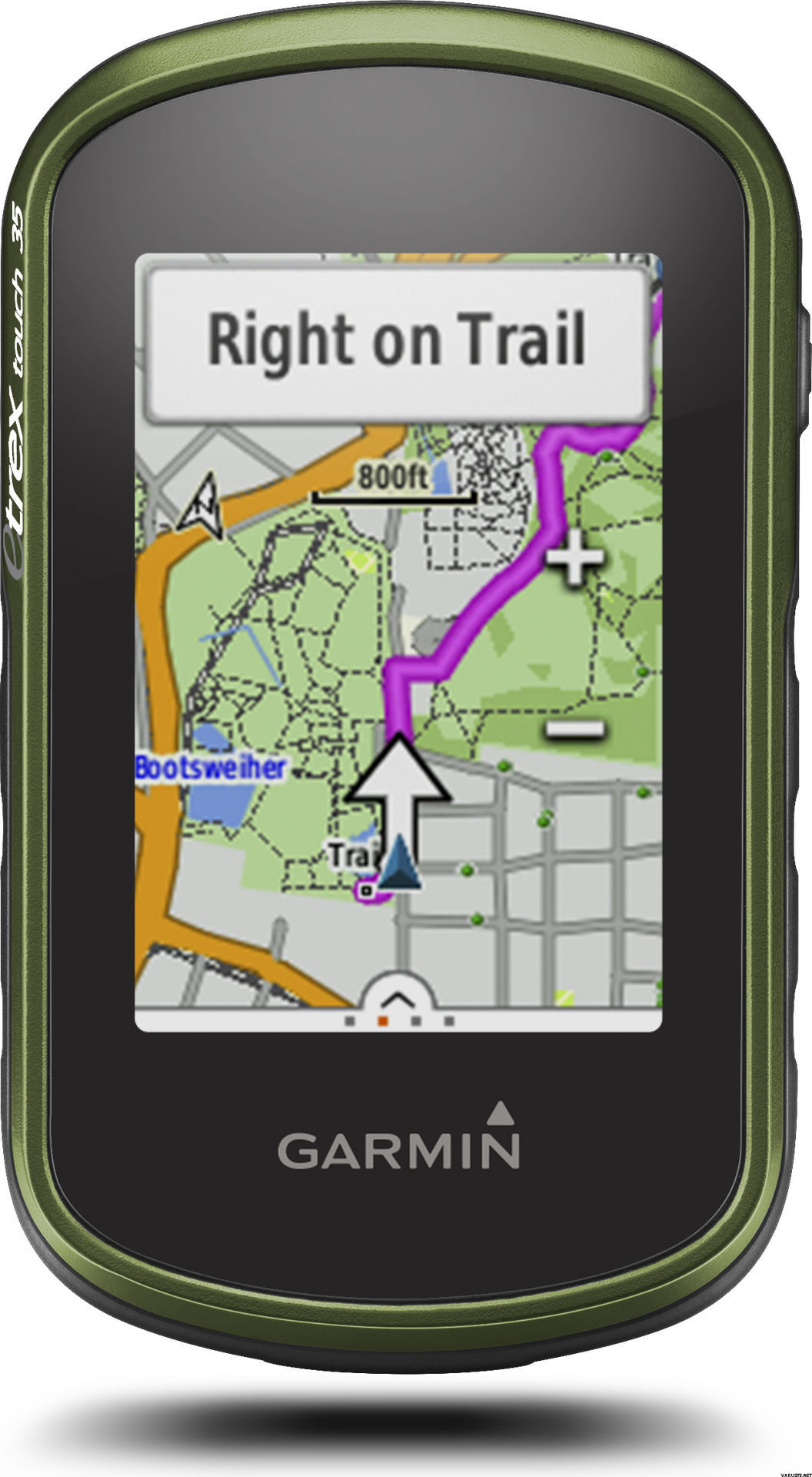
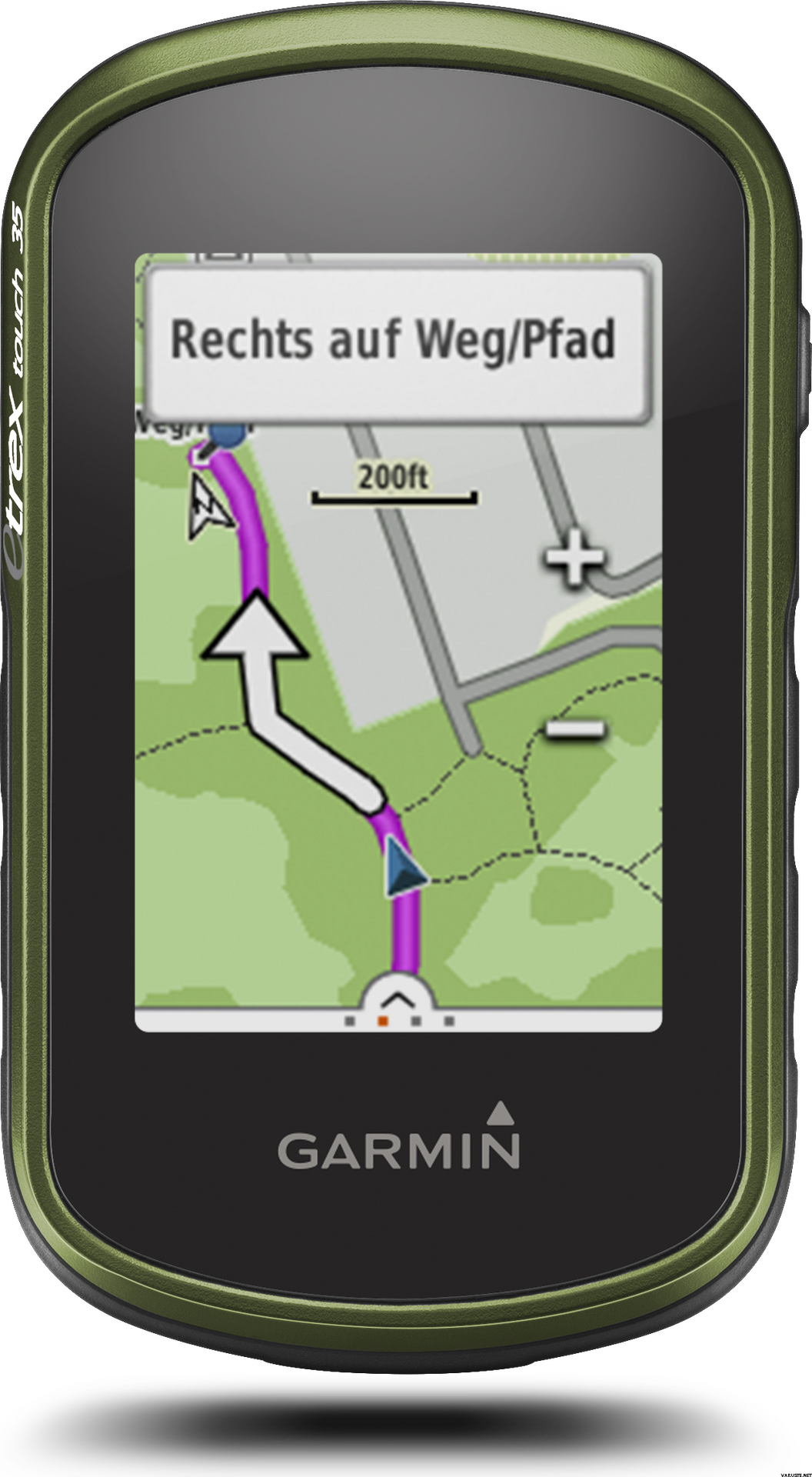
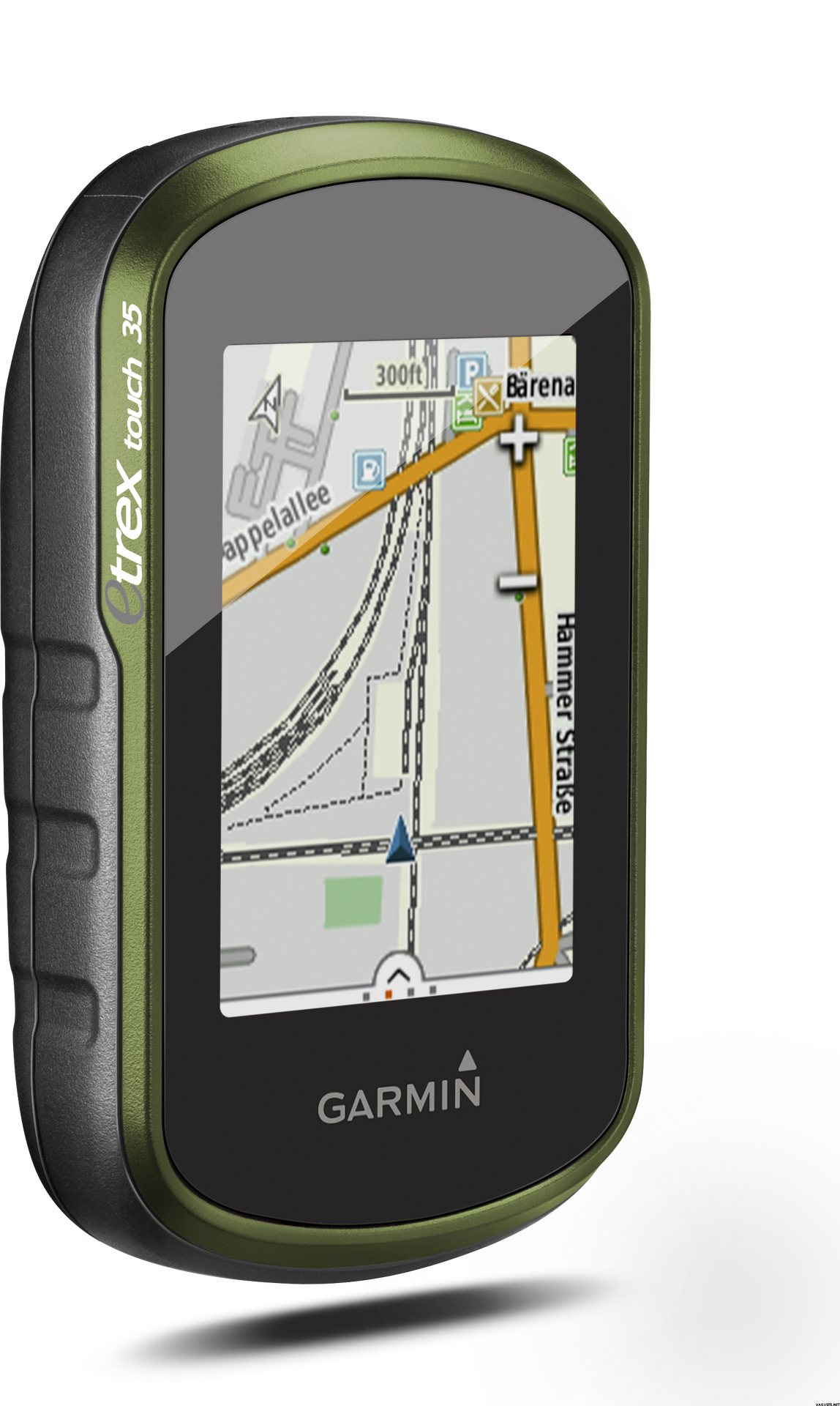
eTrex Touch 35 is the new family navigator for outdoor activities and alpine adventures, ideal for everyone that likes to dip their toes into the great outdoors - from casual cyclists and hikers to geocaching newbies and hillwalkers.
eTrex has been the world’s most popular and successful recreational GPS series for the past 15 years. eTrex Touch 35 is its newest member, that is now easier and more convenient to use than ever. With additional altimeter, it also supports alpine activities like mountaineering and mountain biking. It comes with preinstalled TopoActive Europe maps and optimised Activity Profiles for various recreational activities, not forgetting 250,000 geocaches for endless fun outdoors. With smart notifications straight to your device from your smartphone1, you can stay connected when you’re on the go. To make it even easier to get going, a cycling mount is included in the box. Get out there and have fun with the family. eTrex will guide you every step of the way.
Garmin family navigator that’s easy and fun to use, with touchscreen, altimeter and preloaded TopoActive Europe maps
Find your way the easy way
eTrex Touch works like an in-car sat nav, but with maps and features specifically designed for navigation during recreational activities like cycling and hiking. Whether you have a specific destination in mind, or you just want to record your activities to share later on, eTrex Touch gives you the freedom to explore with confidence. You can even find and download activities others have completed on Garmin Connect and Garmin Adventures, or share your own with the community.
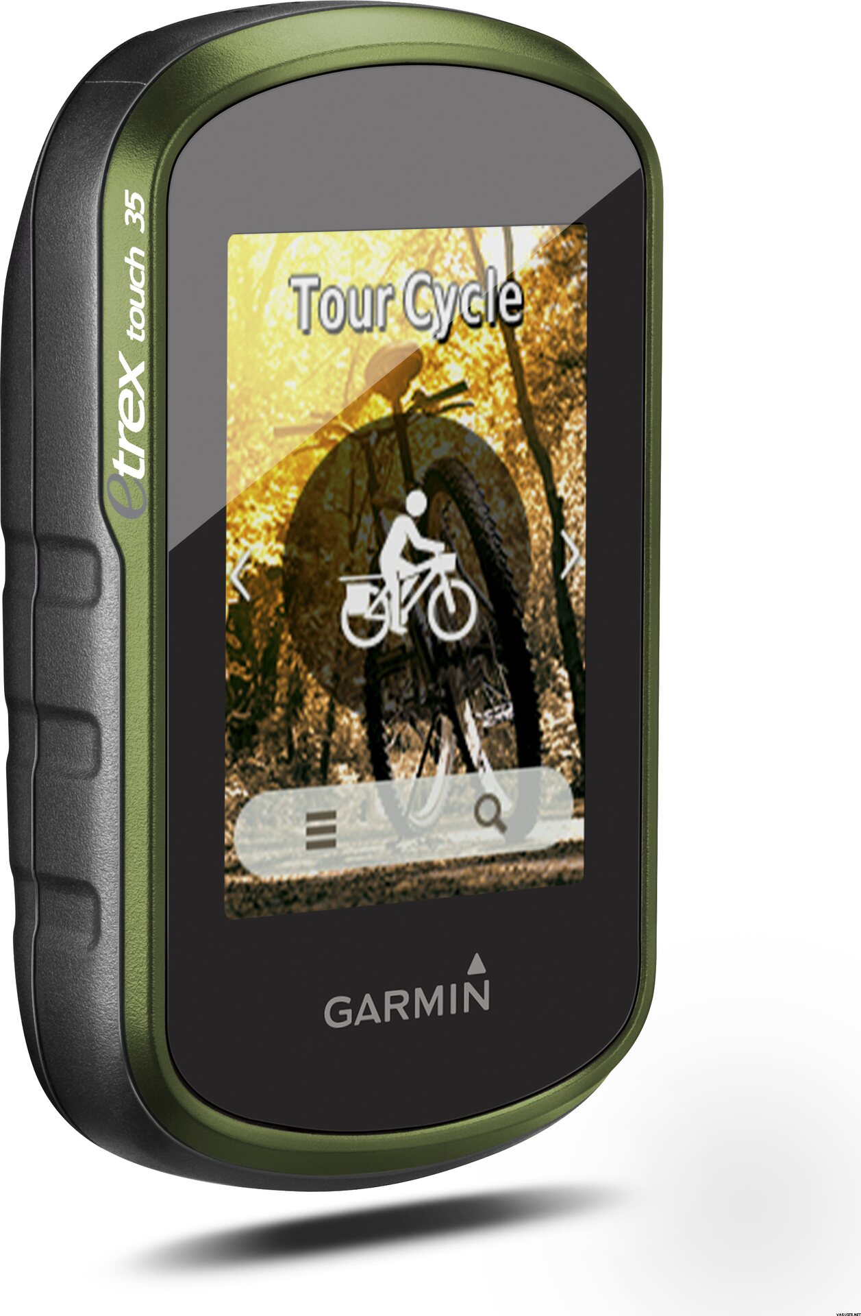
With an easy to use touchscreen, the kids will be able to have a go too. Just touch and go, as the moment takes you! The Activity Profiles give you immediate access to customised profiles like hiking, cycling and geocaching, so you’re all set up for your chosen activity, with everything you need at your fingertips. You can focus on enjoying the great outdoors, and having a great time with your family – knowing you’re in safe hands.
All ready and set to ride
eTrex Touch holds no one back, it’s everything you need to get out there and experience the outdoors at every opportunity. Not only is it designed to enhance whatever activity you fancy that day but it comes fully prepared for you to take it straight out the box and get going.
With a cycling mount included, the eTrex Touch is particularly appealing to recreational cyclists, who can easily fix the device to their handlebars.
The device comes preloaded with Garmin TopoActive Europe maps for 46 countries - just switch the device on, connect to GPS and start navigation. And the maps can be updated at no additional cost. With a large 8 GB internal memory and a microSD slot, there’s plenty of room for additional mapping, whether you’d like to enhance it with advanced topo maps or marine maps.
Dive into geocaching
Experience the great outdoor GPS treasure hunt called geocaching. With the eTrex Touch, geocaching is convenient for everyone, with paperless geocache directions, ratings and recent logs saved directly on the device - no need to print anything.
eTrex Touch 35 comes with an electronic compass that shows you the direction to your destination even while you’re stood still - which helps a lot during short breaks on geocaching adventures.
For beginners, eTrex Touch holds 250,000 great geocaches suitable for those new to geocaching – to help you get used to the whole concept. All geocaches are from geocaching.com, the world’s largest geocaching platform.
Adventures unearthed and shared
Don’t have a specific destination or route in mind? Search for recommended adventures on Garmin Connect or Garmin Adventures, and see routes and geocaches that others have completed. Then download them to eTrex Touch ready for your next adventure. Or create and customise a completely new route to download to your device.
Want to save and re-live a recent adventure? eTrex Touch records where you’ve been so you can upload your routes to Garmin Connect or Garmin Adventures and relive them whenever you want. Garmin Connect and Garmin Adventures are free and allow you to share your recreational adventures with friends and family.
Rock solid eTrex quality
eTrex Touch is the latest product from the famous eTrex GPS handheld series. These products have been successfully deployed all over the earth, from the freezing poles to the heat of African deserts and the humid South American jungles. eTrex has mastered all terrains and the eTrex Touch offers that same toughness and endurance.
eTrex Touch supports GPS and GLONASS, giving you the power of two satellite systems, for faster fix and better accuracy in challenging environments. Let eTrex do all the hard work for you – just check your actual position and follow the guidance. eTrex 35 also adds a barometric altimeter to the mix, for safer navigation in alpine environments and accurate elevation data.
The device is fully ruggedised, IPX7 water-rated and has a scratch-resistant screen. The long 16 hour battery life and field-replaceable standard AA batteries guarantee flexibility when you’re on the go.
eTrex Touch also provides all of the classic eTrex features like hunting and fishing information, sport watch, sun and moon calendar, sunrise and sunset data and much more.
Compact and versatile companion
The handy device fits easily into a pocket or on a handlebar. It’s also designed to be a size that allows kids to easily handle it too. Using the spine mount mounting system, eTrex Touch can be mounted pretty much anywhere with specialised mounts for boats, cars, backpacks etc.
Stay connected
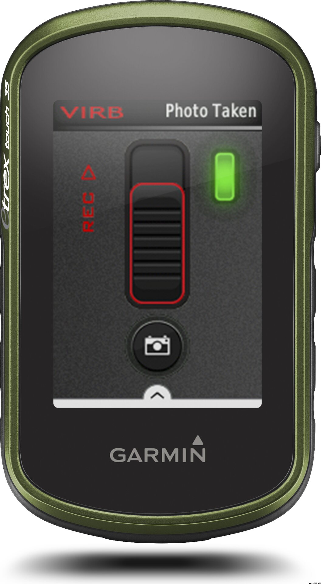
eTrex Touch 35 lets you share your waypoints, tracks, routes and geocaches wirelessly, through unit-to-unit sharing with compatible Garmin devices. With the smart notification feature, you’ll never miss a text, email or notification from your compatible smartphone*, unless you want to. You can also use your eTrex Touch 35 as a remote control for our VIRB® XE, VIRB X and VIRB Elite action cameras.
eTrex Touch 35 also supports Live Track which allows your friends and family to follow your activities in real time. Invite followers, via email or social media, to track your activity and location on Garmin Connect.
Physical & Performance
Physical dimensions5.8 x 10.2 x 3.3 cm
Display size, WxH3.6 x 5.5 cm
Display resolution, WxH160 x 240 pixels
Display type2.6" 65K colour TFT
Touchscreen
Weight159 g with batteries
Battery2 AA batteries (not included); NiMH or Lithium recommended
Battery lifeUp to 16 hours
Water ratingIPX7
High-sensitivity receiver
InterfaceUSB
Camera
No
Barometric altimeter
Electronic compass
Unit-to-unit transfer (shares data wirelessly with similar units)
Maps & Memory
Basemap
Preloaded maps
No
Ability to add maps
Built-in memory8 GB
Accepts data cardsmicroSD™ card (not included)
Custom POIs (ability to add additional points of interest)
Waypoints/favorites/locations4000
Routes200
Track log10,000 points, 200 saved tracks
Outdoor Features
Automatic routing (turn by turn routing on roads)Yes (with optional mapping for detailed roads)
Geocaching-friendlyYes (Paperless)
Custom maps compatible
Sun and moon information
Tide tablesYes (with optional Bluechart)
Area calculation
Picture viewer
Garmin Connect™
Garmin Connect™ compatible (online community where you analyze, categorize and share data)
Additional
Additional
Smart Notifications: Yes
Live Tracking: Yes (with Garmin Connect™ Mobile)
 — Rādīt oriģinālu — Rādīt oriģinālu
Labi, ka lietotne ir gatava atmiņas kartē. Ja nepieciešams, to var lejupielādēt arī no Somijas Nacionālās zemes apsekošanas vietnes. Garmin eTrex ir parocīga izmēra. Izmēram ir nozīme, ne vienmēr gribas ņemt līdzi lielu. Ierīcei nebija pievienota somu valodas lietotāja rokasgrāmata. To var atrast tiešsaistē, un no turienes to var arī izdrukāt. Varētu sagaidīt, ka Somijā iegādātai ierīcei būs pievienota rokasgrāmata, vēlams, krāsu izdruka. Ierīci ir viegli lietot. Visilgāk kalpo uzlādējamās baterijas. Ir vērts tās iegādāties, tās nav iekļautas piegādes komplektā, kas jau ir zināms, pasūtot.| Kopvērtējums |
— Rādīt oriģināluLaba un precīza ierīce. Diezgan sarežģītas izvēlnes, tāpēc vēl neesmu apguvis visas funkcijas.| Kopvērtējums |
— Rādīt oriģināluIerīci iegādājos galvenokārt ģeokešingam un otrkārt riteņbraukšanai. Meklēju mazu skārienekrāna ierīci ar labu akumulatora darbības laiku, un izvēlējos šo. Bija nepieciešams laiks, lai pierastu pie izvēļņu navigācijas loģikas, bet sāku diezgan labi atrast nepieciešamās funkcijas un iestatījumus. Maza ierīce, bet displejs un karte ir pietiekami skaidri. Man personīgi ir nelielas grūtības lejupielādēt slēpņus ierīcē (pa vienam, pārsūtot tos no datora pārlūkprogrammas uz ierīci). Geocaching Pocket vaicājums, iespējams, būtu ērtāks, ja man būtu premium abonements. Tad biežāk ievadīšu tikai slēpņa koordinātas Garmin un pārlūkošu slēpņu aprakstus savā tālrunī. Braucot ar velosipēdu, Garmin bija paredzēts, lai aizstātu tālruņa un rezerves barošanas avotu nēsāšanu līdzi navigācijai. Komplektā iekļautais velosipēdu turētājs ir diezgan labs, lai gan tam ir kabeļu saites stiprinājums. Navigācijas funkcijas nav labākās iespējamās, vismaz braucieniem pa pilsētu. Pirms Garmin iegādes man patika plānot velobraucienus uz jaunām vietām, izmantojot Google Maps, un pārsūtīt tos uz savu tālruni. Maršruta plānošana, izmantojot Garmin Base Camp programmu (datorā) vai maršruta plānošanu tieši ierīcē, nav īpaši vienkārša, vismaz no pirmā acu uzmetiena. Varbūt tāpēc esmu pieturējies pie sava tālruņa kā navigācijas palīglīdzekļa velobraucieniem, lai gan ar nelielu piepūli un mācīšanos pat Garmin var tikt novests līdz pieļaujamam līmenim.| Kopvērtējums |
— Rādīt oriģināluDarbojās labi. Lai gan reiz tas parādīja attālumu, ko biju nobraucis tieši tajā brīdī, neatkarīgi no tā, vai tas bija spēcīga sala dēļ, baterijām bija pietiekami daudz jaudas. Garmin Contact mobilajā programmā varētu būt programma, kas reģistrē, piemēram, mēneša pārgājienus.| Kopvērtējums |
— Rādīt oriģināluLabs, pamata GPS. Displejs īpaši neatšķiras no mobilā tālruņa, taču tas sniedz pārliecību un drošību orientēšanās laikā garākos braucienos.| Kopvērtējums |
— Rādīt oriģināluĒrta izmēra ierīce, ko pēc nelielas prakses ir viegli lietot. Piestiprinājums pie pildvielas ir jauks papildinājums un palīdz atrast maršrutu, braucot ar velosipēdu.
Galvenokārt paredzēts ģeokešingam. Piegāde bija ātra, un uzņēmums jau bija pazīstams, viss darbojas labi.| Kopvērtējums |
— Rādīt oriģināluGudra ierīce. Sākotnēji to iegādājos slēpņošanai, bet šķiet, ka tā ir novietota uz velosipēda stūres, lai sniegtu informāciju un parādītu karti... šķiet, ka augšstilbos tā saņem vairāk šaujampulvera :) Displejs šķita nedaudz par mazu slēpņošanai, bet varbūt pie tā pieradīsiet. Pārsteidzoši, bet informācija ir redzama braucot ar velosipēdu, un karti ir viegli lasīt.
Tā patērē daudz bateriju, tāpēc uzreiz iegādājos uzlādējamas baterijas un lādētāju. Laba ierīce!| Kopvērtējums |
— Rādīt oriģināluPatiesi daudzpusīgs sporta navigators. Es to galvenokārt izmantoju kalnu riteņbraukšanai, bet tas der arī pārgājieniem un slēpošanai.| Kopvērtējums |
— Rādīt oriģināluLabi, bet tas prasa zināmu praksi ar šiem plašajiem profiliem un izvēlnēm.